 Apps that a local centric and understand the public needs is just awesome, when they are free its even for fantastic. Not plugging anyone here, but Waze the free traffic navigation app that’s been installed in millions of smartphones will go in history as the one of the most useful apps ever developed. Unlike social media apps, Waze serves a purpose to ease peoples daily task.
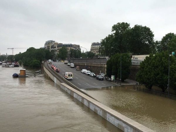
What makes the app unique is the localisation, we all know how KL and east coast roads are prone to floods especially during the rainy and monsoon season and the considerable inconvenience it can cause. Paying attention to the situation, Waze has added features that will allow users to navigate around roads and areas that experience these situations.
With more than 420,000 global, active, volunteer Map Editors, Waze maps are kept up-to-date and accurate of real time conditions, particularly during weather issues like monsoons and floods. These information will be used by these editors to add closures and other information directly to the Waze Map – both online and in-app.
Reporting is also simple, users can send in notifications about closed roads due to flooding and planned event road closures on waze.com/livemap and through the reports menu. The affected road/s will be closed and immediately reflected on the app to allow road users to feel ease when travelling. Report from municipalities will be taken into consideration.